How are you going to #GetOverIt?
The Cooper River Bridge Run is only five weeks away. Whether you’re training for the run, or bracing yourself for beach season (*cue Inception sound*), we have only one recommendation: Go outside.
To discourage you from watching cable TV reruns on the treadmill, we’ve come up with a guide to running trails in town that will take your breath away— not only because of the stunning views, but because they’ll give you a workout that will leave you feeling pretty winded.
Daniel Island Trails
More than 25 miles of trails with views of downtown, the Wando River, + the Daniel Island Club
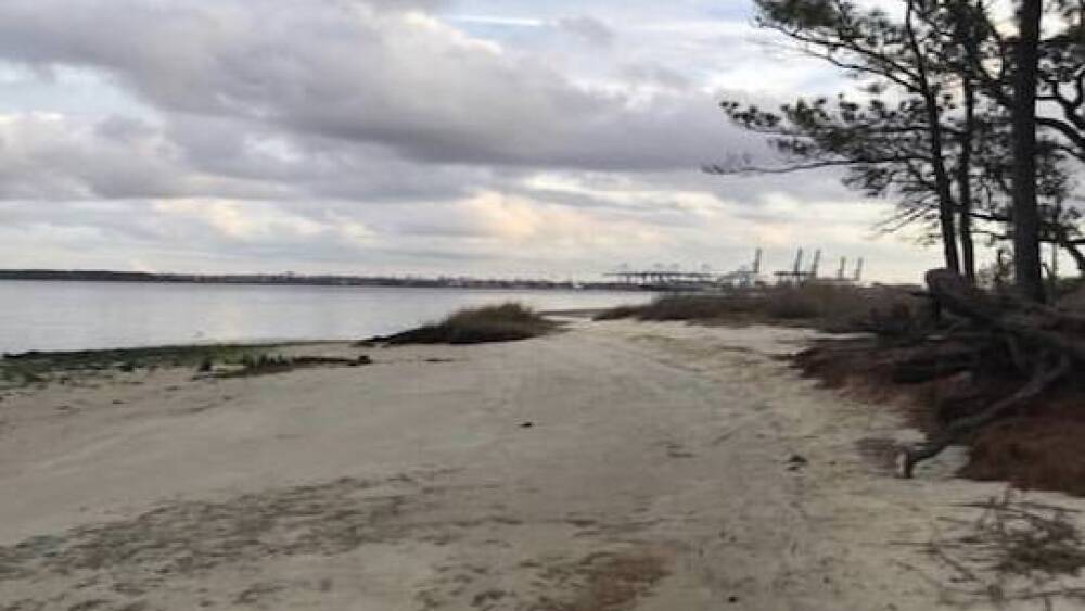
Daniel Island Trails | Photo by @jenjenwilder
📍 Distance: Trails range run anywhere from less than a mile to a ~2.5 mi. loop
🚙 Parking: Governor’s Park on Seven Farms Dr. or at the Daniel Island Real Estate Information Center at 101 River Landing Dr.
💰 Cost: Free
🥇Tip: Download the free DiTrails app for access to trail maps, playlists, + social sharing tools
Sawmill Branch Canal Trail (Summerville)
This 10-foot-wide, paved trail runs along the Sawmill Branch Canal, starting on E. Richardson Ave. near Gahagan Park + ending at Crosscreek Dr. near the YMCA, with stops in several residential areas along the way. Run the whole route or hop on/off at any of the other accent points.
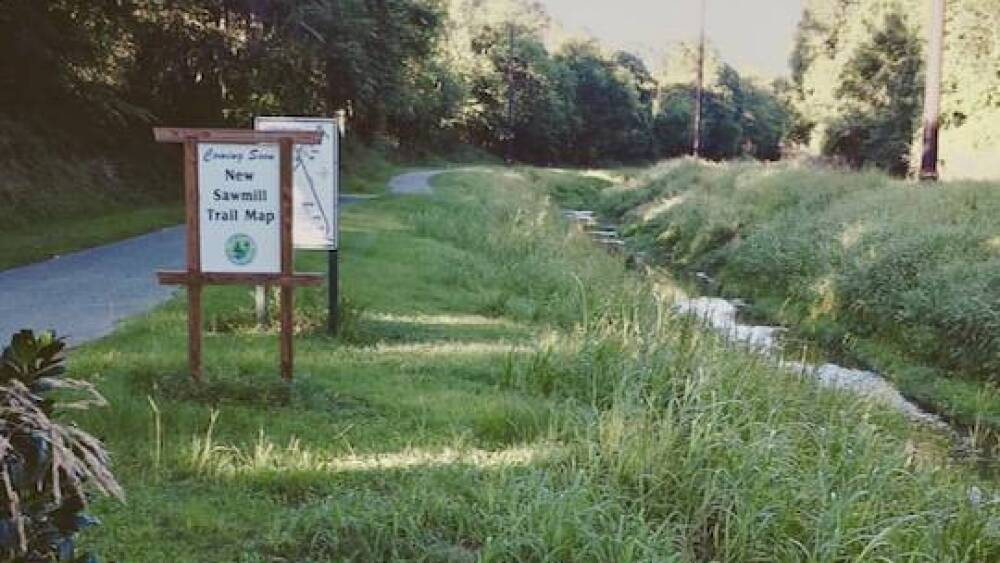
Sawmill Branch Trail | Photo by @anhpkns
📍 Distance: 14 mi.
🚙 Parking: Free parking at either end or along the route
💰 Cost: Free
West Ashley Greenway
Feel like you’re escaping all the hustle + bustle while still only being a block or two away from it all. The trail starts at South Windermere Center on Folly Rd. in West Ashley + runs adjacent to Hwy. 17 all the way to Mcleod Mill Rd. (off Main Rd.) on Johns Island.
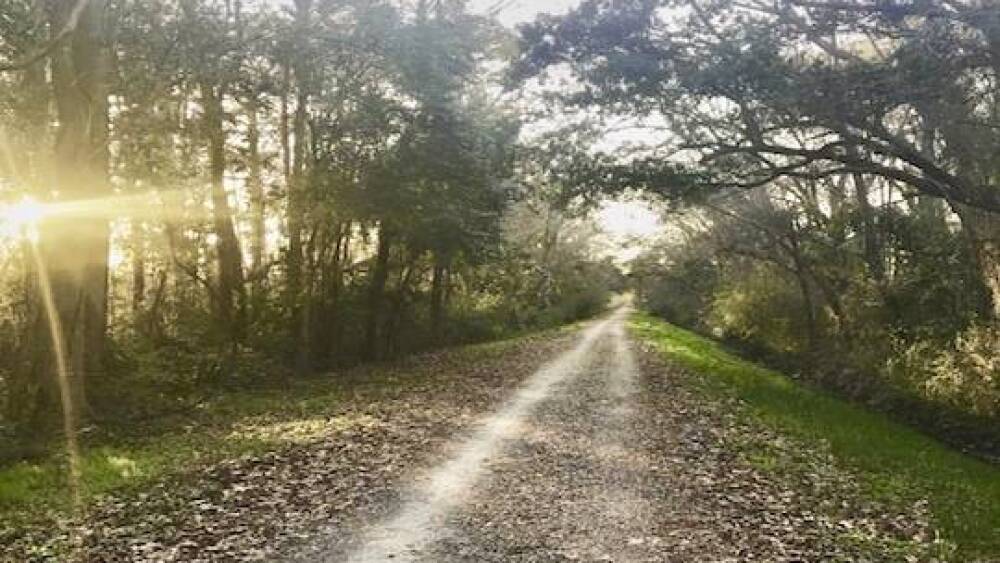
West Ashley Greenway | Photo by @alliepmitchell
📍 Distance: 8.25 mi. one way
🚙 Parking: Free parking at either end.
💰 Cost: Free
🥇 Tip: The Greenway is currently shut down from Albemarle Rd. to Fenwick Dr. as Charleston Water System crews work on the West Ashley Sewer Tunnel Project. It’s expected to reopen sometime in mid-April.
Wannamaker North Trail (Goose Creek)
Designed for mountain bicyclists, the Wannamaker North Trail is also open to runners looking to be challenged by steep hills + sharp curves.
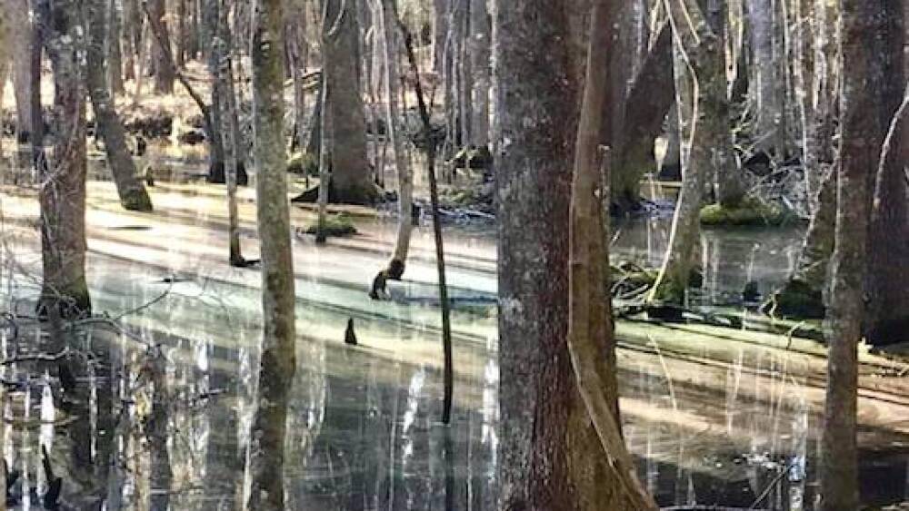
Wannamaker North | Photo by @live_like_a_dolphin
📍 Distance: 13 mi.
🚙 Parking: Parking available at the trailhead off of Westview Blvd.
💰 Cost: Free for Gold Pass members; $1 for non-members
🥇 Tip: Check out the trail prior to visiting with this GoPro video.
Marrington Plantation (Goose Creek)
Marrington Plantation, on Joint Base Charleston-Weapons Station, boasts upwards of 2,000 acres of woodlands.
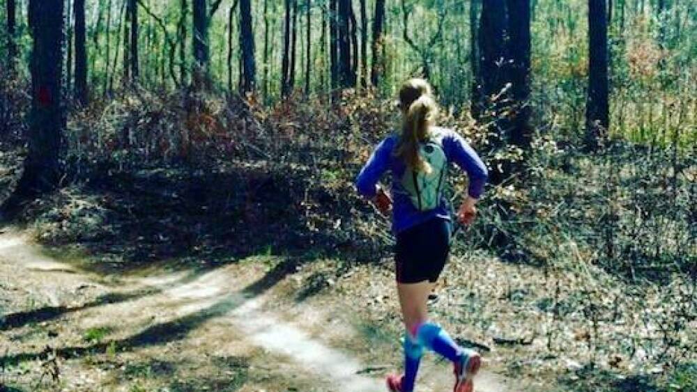
Marrington Plantation | Photo by @goldblondeoats
📍 Distance: 13 mi. (Red Loop)
🚙 Parking: Turn off of Red Bank Rd. by the Marrington Plantation Sign. Parking is on the right.
💰 Cost: Free with a Department of Defense ID; $10/year after a multi-week background check for non-military to obtain a Marrington Patron Pass (we hear visitors often get away with using the trail without a pass; but we know you’ll play by the rules, like the good Samaritan you are).
🥇 Tip: There are a few shorter trails accessible nearby— including one that spans just one mile— if you aren’t in the mood for a half marathon.
Folly Beach
If you don’t mind getting a little sand in your shoes, nothing beats a run on the beach. The firm, packed sand near the water will give your knees a break from the rough impact of running on concrete. Masochists can opt to run closer to the dunes, where the soft + dry sand creates an uneven, challenging terrain. Plus, at Folly, there’s the added convenience of being able to stop at the pier to use the public bathrooms + water fountain (or get ice cream at the gift shop; I’m not judging).
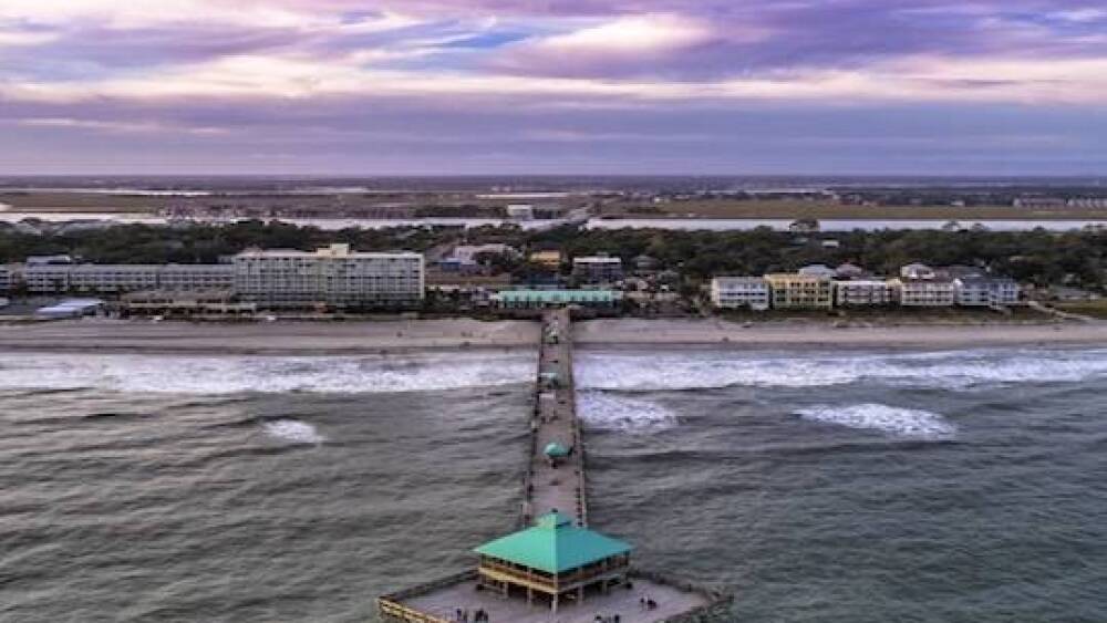
Folly Beach | Photo by @loudhandleproductions
📍 Distance: Varies. I use the street numbers as distance markers– each block is equal to ~0.1 mile.
🚙 Parking: Free parallel parking along the streets, unless otherwise noted. Make sure you park inside the white line.
💰 Cost: Free
🥇 Tip: Check the tides before you head over. If the tide is high, there may not be any beach + you’ll have to swim instead of run. Don’t forget to wear sunscreen.
The Battery + Downtown
I admit, this one’s more of a sidewalk tour through the lower peninsula than it is a running trail, but this list wouldn’t have been complete without a run that offers views of downtown. Start at the Battery and run along the water up to Calhoun St., passing Marion Square then turning onto East Bay + taking it all the way back to where you started. All in all, it’s a 10k— the same distance as the Bridge Run– minus the bridge.
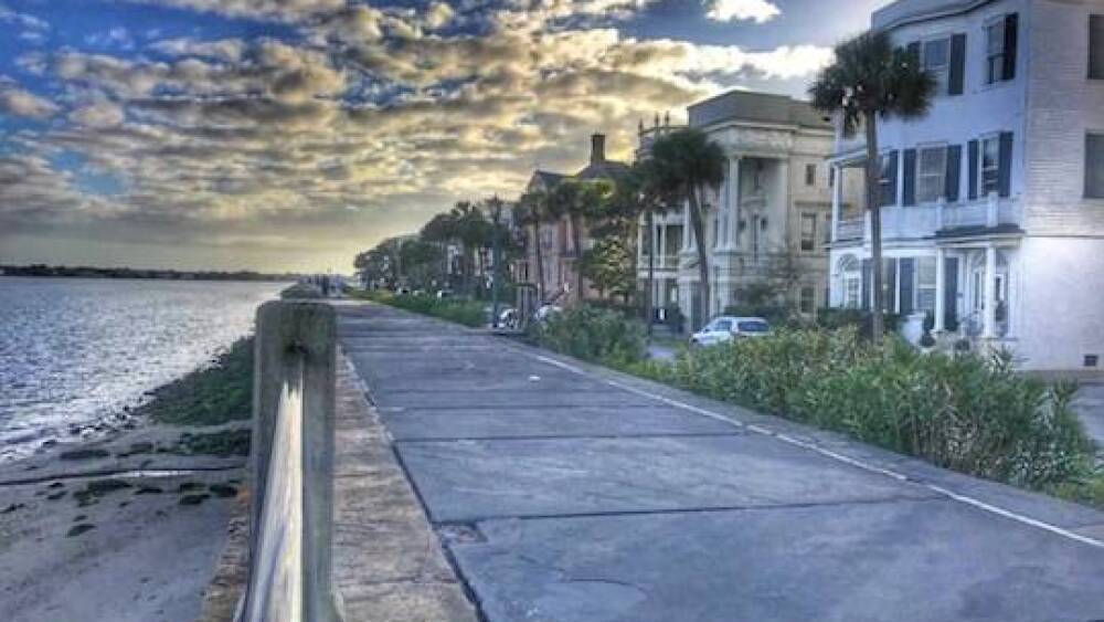
The Battery | Photo by @j4clt
📍 Distance: 6.58 miles
🚙 Parking: Free parallel parking along the Battery wall; closest garage is at 140 East Bay St.
💰 Cost: Free
James Island County Park
Located right off of Riverland Dr. on JI, you can find paved trails throughout the park.
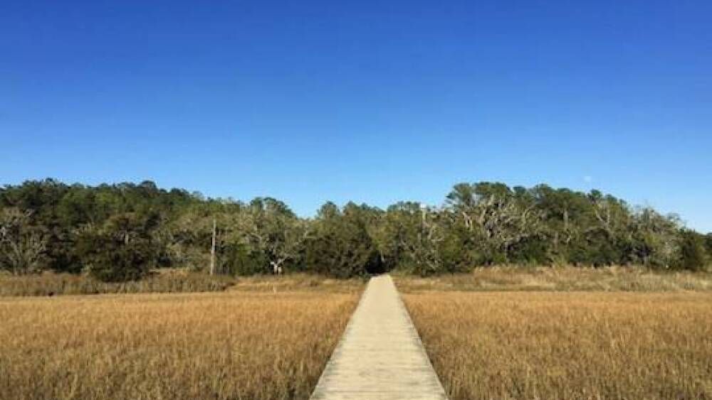
James Island County Park | Photo by @smbertram
📍 Distance: Varies
🚙 Parking: Multiple lots within the park
💰 Cost: Admission to park is free for Gold Pass members; $2 for non-members
🥇Tip: Don’t forget to bring bug spray
Charles Towne Landing
The first European settlement in the Carolinas offers a multitude of running paths. Choose from the English Garden trail; the Nature Trail; the Animal Forest Trail; or, if you really want to feel like you’re back in the year 1670, the Historic Trail. If you get here + decide you don’t feel like running anymore– bicycles are available to rent for $5 an hour or $15 for the whole day.
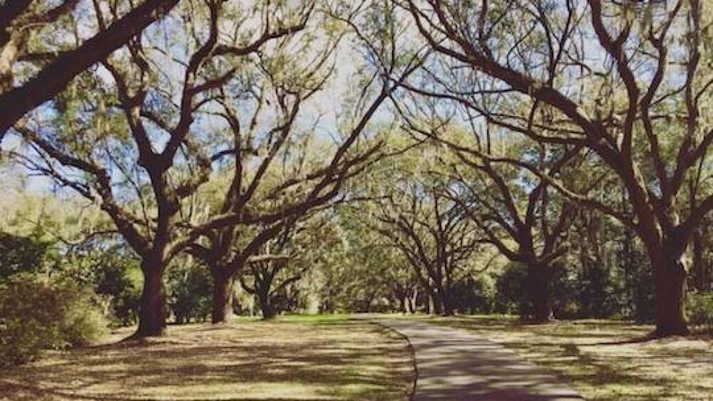
Charles Towne Landing | @kianakovacs
📍 Distance: Varies
🚙 Parking: Free parking beyond park entrance
💰 Cost: $10 adult admission
🥇Tip: If you want to keep riding your runner’s high after the Bridge Run, sign up for the Race the Landing 5k series. There are five races in the series, which start in May + wrap up in July— runners get a free meal after each one.
Arthur Ravenel Jr. Bridge
CHStoday reader @livehighvibe calls it “Charleston’s mountain” — and we couldn’t agree more. If you’re doing any kind of altitude training, this path isn’t just your best bet – it’s your only bet. Besides, what better way is there to train for the Bridge Run than by actually running the bridge?
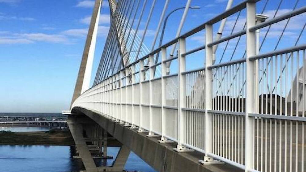
Arthur Ravenel Jr. Bridge | Photo by @lowcountry_way
📍 Distance: 2.7 mi. one way
🚙 Parking: Free street parking off East Bay St. on the downtown side, or paid parking at Memorial Waterfront Park on the Mount Pleasant side.
💰 Cost: Free
🥇 Tip: Push your limits a little farther by running the entire Bridge Run route. View a map of the entire course here.
The CRBR just might be my favorite event in Charleston— but I’m struggling to get back in shape for this year’s race after a sabbatical from exercise that only recently ended.
So I need something from you: your workout playlists, recommended running shoes, race-day superstitions, + post-run plans. Send it all to hello@thechstoday.com. I’ll take all the help I can get.
—Jen, Multimedia Producer


